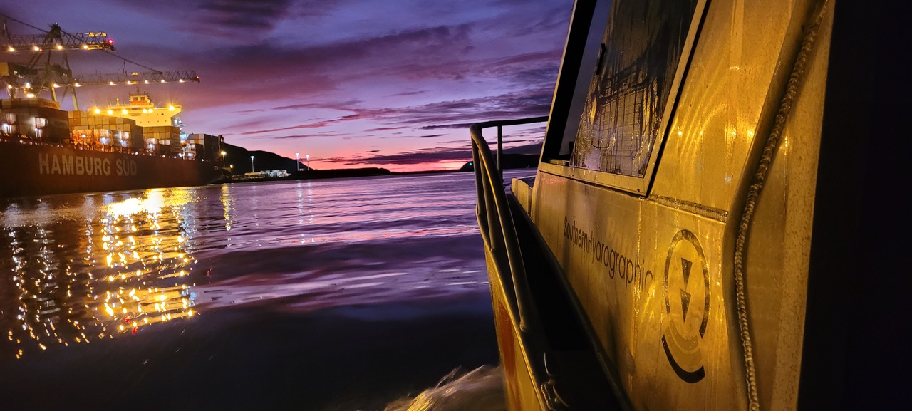
Based in Nelson New Zealand, we provide specialist hydrographic services to the port and harbour sector.


Southern Hydrographic uses specialist equipment capable of obtaining accurate and extremely high detail of the underwater environment.


Accurately determine what needs to be dredged to achieve the design profile, including associated volumes.
Monitor dredge progress using intuitive conformance plots generated immediately after MBES surveys. Enables targeted dredge operations and minimise unnecessary work.


High resolution MBES survey carried out to the same precision as standard dredge monitoring surveys but with additional QA reporting and specific deliverables to satisfy nautical charting requirements.
Use of high resolution MBES to examine areas critical to navigation and ensure the position, extent and least depth of potential hazards are identified.


Compare actual placement of rock material against user defined 3D design model.
Monitor condition of underwater infrastructure through comparison of repeat surveys.


Accurately determine the position of buoys (ie seabed mooring) and beacons, including verification of light characteristics and elevation above MHWS.
Alignment of sector lights with design azimuth(s) together with field verification and documentation.


SHL was established by Dave Mundy, a professional hydrographic surveyor with over 30 year experience delivering surveys in NZ and the pacific, and has been in operation since 2019, delivering hydrographic survey services to the NZ Port and Harbour sector.
All surveys are undertaken by personnel holding appropriate professional qualifications, including International Hydrographic Organisation (IHO) Category A and Certified Professional Hydrographic Surveyor (CPHS) Level 1 certification.
